First Alert Weather: Sun returns on Monday, but snow chances increase over the next week
[anvplayer video=”5151965″ station=”998131″]
ROCHESTER, N.Y. — We’re waking up to yet another cloudy start for Friday morning. Just like Thursday, the sun will return.
Temperatures are also cooler with temperatures starting off near the freezing mark. We are tracking a few pockets of slick spots in the morning due to the freezing temperatures and because of some low-level moisture that rolled through late last night.
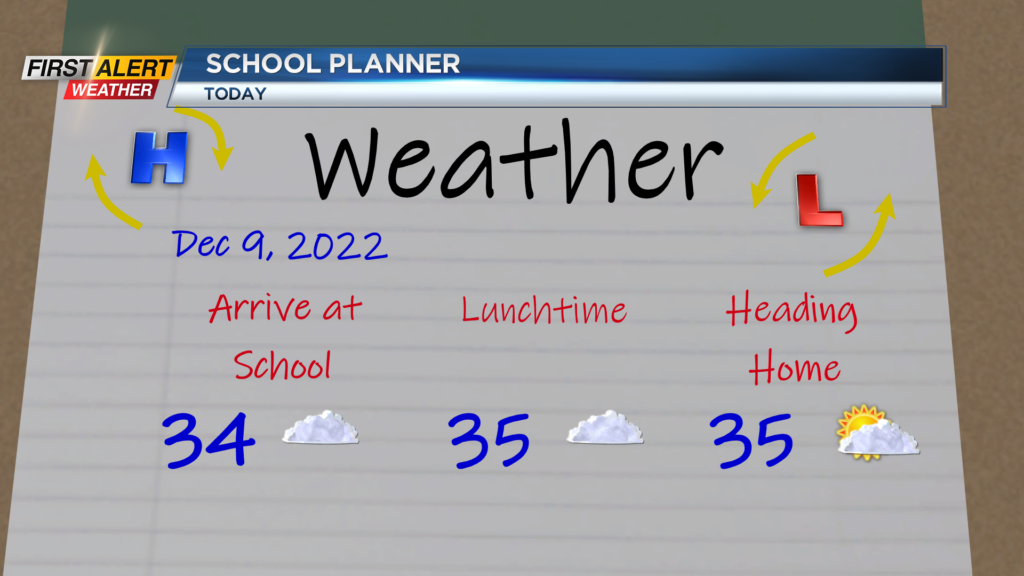
So, heads up early for Friday morning as temperatures hang out near freezing. Temperatures will make their way into the mid and upper 30s this afternoon with plenty of sun by the mid afternoon hours.
The sun sticks around for Saturday, but clouds increase late tomorrow with a chance for rain and snow showers on Sunday. We will wake up Sunday morning to cloudy skies and a few snow showers, and then widespread light to moderate snow takes over by lunchtime.
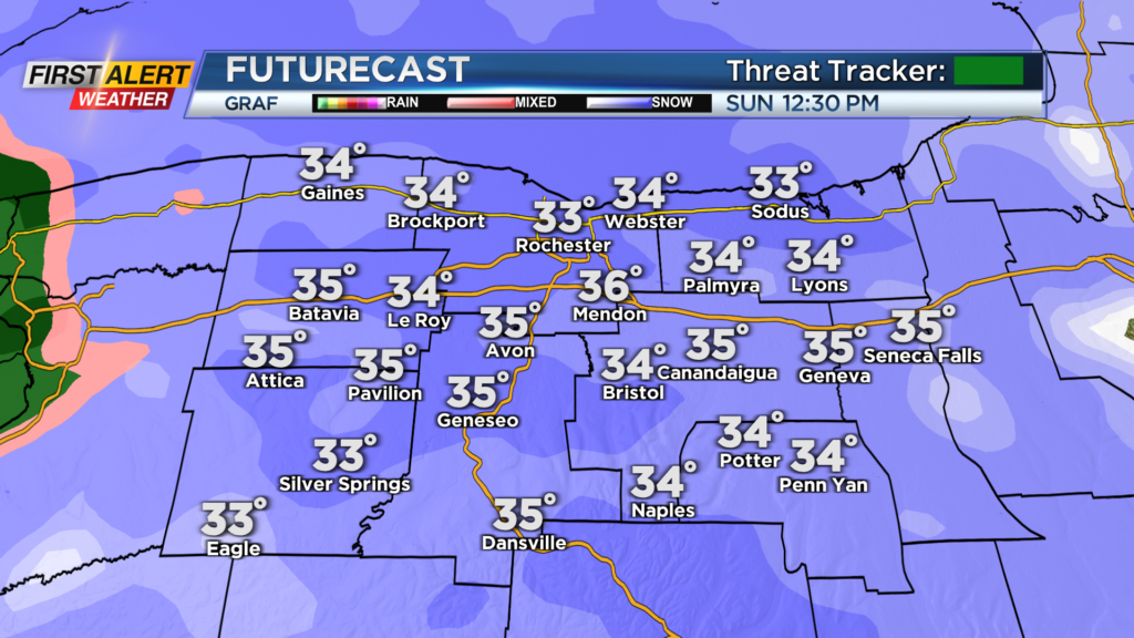
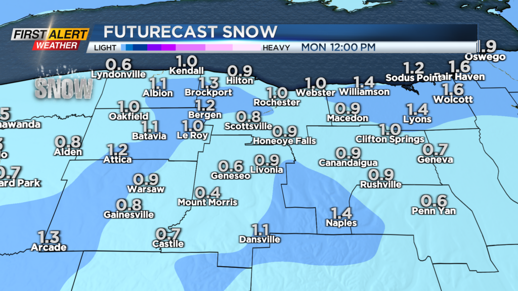
It will not last too long as things begin to mix with rain and turn isolated by the evening hours Sunday. In terms of accumulations, upwards to an inch of snow is possible for the lower elevations, while 1″-2″ will be possible for the higher elevations and areas east of Rochester.
Main roads should be fine on Sunday, but secondary roads could have a few slick spots. Visibility will also be limited at times Sunday afternoon. Not only do we have a chance for snow Sunday, but we also do late next week.
We're waking up to yet another cloudy start for Friday morning. Just like Thursday, the sun will return.
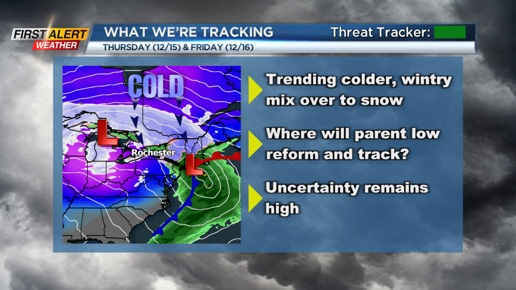
A lot of talk about our next storm for late next week, but many questions still remain and uncertainty is still high. An area of low pressure will roll into the Central US by Wednesday and then transfer its energy to the East Coast come Thursday and Friday.
As of now, our forecast is calling for a wintry mix over to snow for Thursday, and then snow showers for Friday and lingering snow showers into the following weekend. However, things will changes, and there are still a lot of question remaining to be answered on this storm.
A big question will be where does the second low track once it reforms off the East Coast? Will it run into New England or run out to sea? Also, will the backside of the precipitation field be large enough to reach our region and bring us snow? These questions will be answered, and have large implications on how much snow we see locally so stay tuned to the forecast over the next several days as confidence builds.
______________
Download the WHEC First Alert Weather app to stay up to date while on the go. Watch the latest full forecast online.