First Alert Weather: Sun splashed weather to end the week
[anvplayer video=”5192202″ station=”998131″]
ROCHESTER, N.Y. —Thursday certainly had a fall feel to the air, with temperatures struggling into the mid 60s for most of the day.
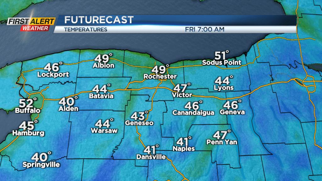
Any clouds will fade, giving way to a clear, starlit night and cool air. In fact, many spots will be waking up temperatures in the 40s Friday morning. Friday will feature wall to wall sunshine. We’ll be hard pressed to find a cloud in the sky. A large area of high pressure slowly moves overhead, and eventually to our east Friday and into the weekend.
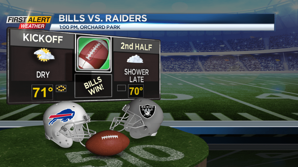
This will bring a slow moderation in temperatures, with highs near 70 on Friday, lower 70s on Saturday, and lower to mid 70s on Sunday. Saturday will feature another sun filled sky, but more clouds return on Sunday ahead of our next area of low pressure. Most of Sunday will remain dry, with a few showers trying to sneak into far western New York late in the day, and a much better chance for showers on Monday. If you are planning on heading to Orchard Park for the Bills home opener, the weather should be just fine. 50s and 60s for tailgating, and 60s and lower 70s for the game. A few showers may sneak in by the 4th quarter, but most, if not all of the game should be dry.
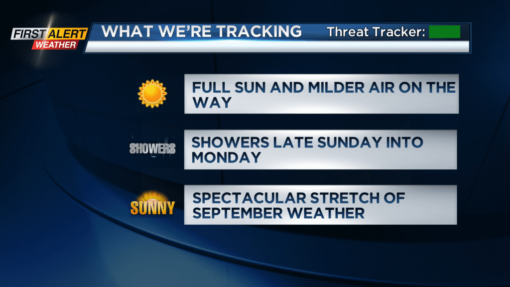
Once this wave of low pressure moves out on Tuesday, it looks like we’re setting ourselves up for a spectacular stretch of late September weather in western New York. We should see dry and warmer weather returning starting on Wednesday, and perhaps taking us into our first weekend of fall.
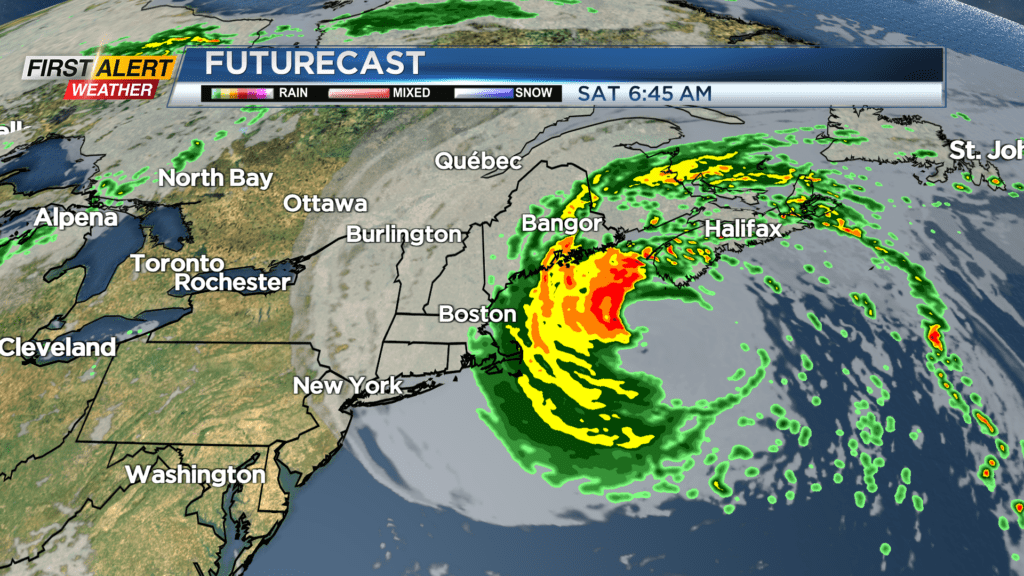
While we are enjoying quiet weather this weekend, Hurricane Lee will continue to churn north through the Atlantic, weakening and spreading out as it does so. The large storm will bring tropical storm conditions to the New England coast from Boston up to Maine on Saturday. The only impact we may see from Lee is some high clouds spilling in from the east on Saturday, mainly in the Finger Lakes.