First Alert Weather: Sunshine to start Easter weekend
ROCHESTER, N.Y. — High pressure will provide us with some sunshine to start the Easter weekend on Saturday.
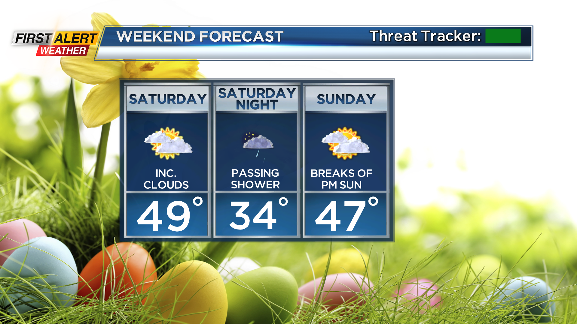
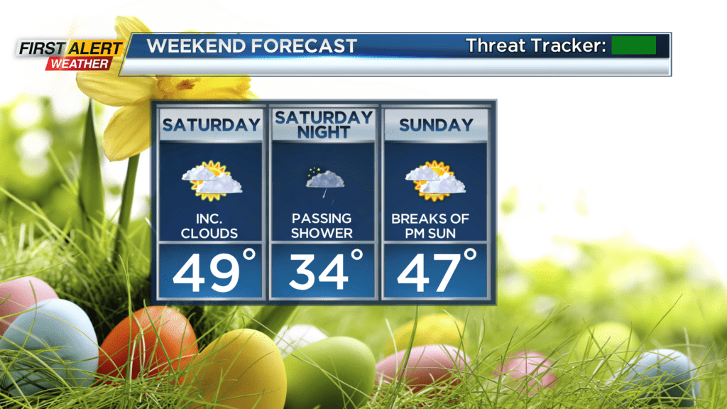
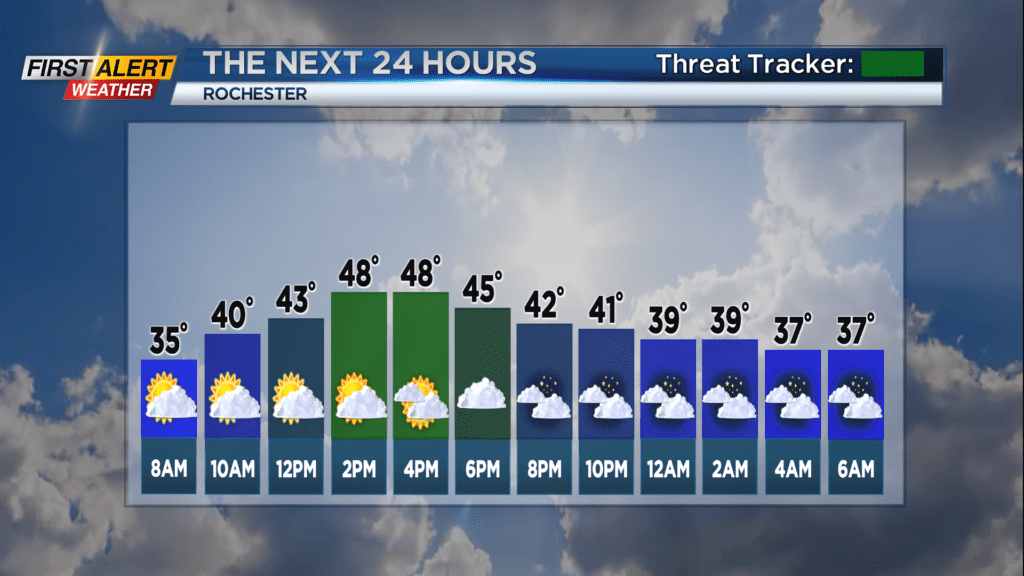
We will find increasing clouds in the afternoon with temperatures in the upper 40s to around 50. Low pressure through the lower and central Great Lakes will bring an increasing opportunity of a few rain or even wet snow showers overnight Saturday. At this time, precipitation chances look minimal. Overnight lows in the 30s.
Easter Sunday looks mainly dry, although we expect a fair amount of clouds around through the morning. There should be more breaks of sun returning for the afternoon with highs in the mid and upper 40s.
April arrives Monday, looking quiet to start the week however it will turn very unsettled throughout the week. Not what folks on spring break want to see. Heading into Tuesday rain will overspread the region and looks to become steady to moderate at times. This is not good timing for the Red Wings home opener. The forecast is not trending any better for Wednesday or Thursday as a deepening storm system will move off and work up the east coast during this time period. This will keep our area unsettled and blustery with rain and or wet snow showers, while interior sections of New England will likely see accumulating snows.
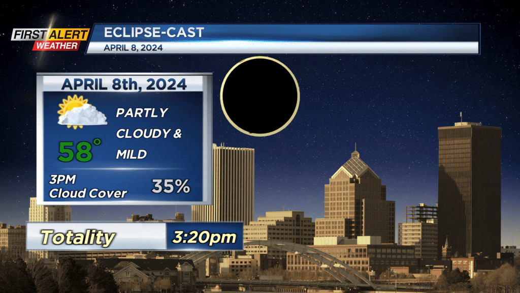
By next weekend it looks like high pressure will overspread into the northeast — which could be good timing for the eclipse on Monday April 8. Early indications look good with a partly cloudy sky and highs in the upper 50s.
Of course, lots of changes are expected in the forecast over the next 10 days. So stay tuned in to News10NBC for your updated forecasts!