First Alert Weather: The ups and downs of October continue this week
[anvplayer video=”5142069″ station=”998131″]
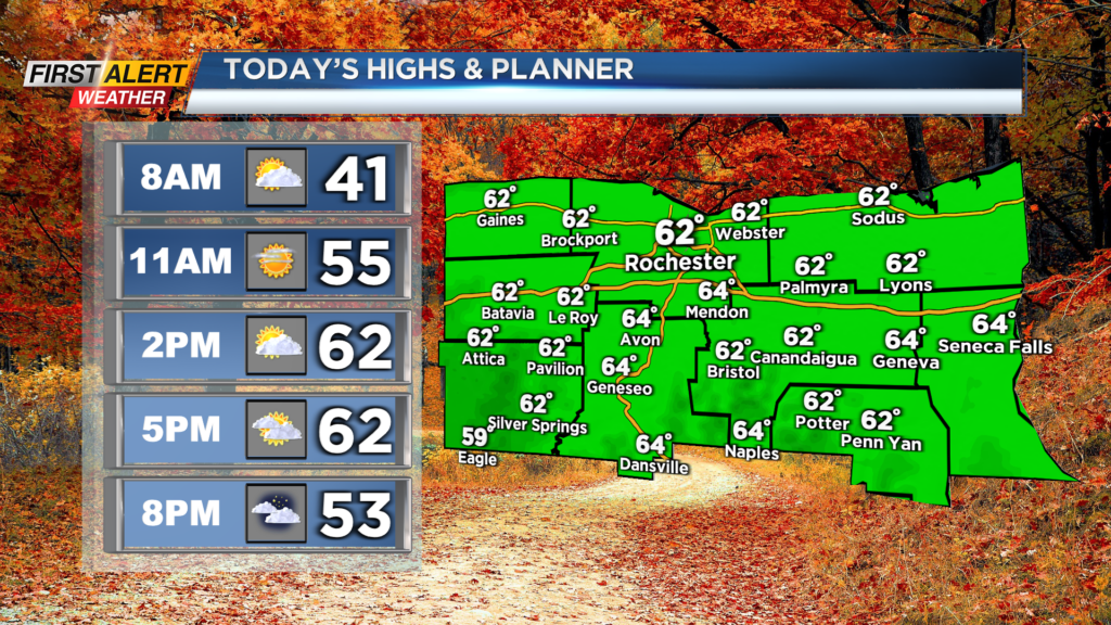
ROCHESTER, N.Y. Waking up to another chilly start on this Sunday, but no rain showers in sight.
After a chilly start this morning we will once again make our way into the low 60s for afternoon highs. Also, just like yesterday we will see plenty of sunshine in the afternoon. Winds will not be as much of a problem today as they remain calm also.
Enjoy the day today though because bigger and cooler changes are on the way early this week. A cold front will swing through early Monday morning with scattered showers and cooler weather for us locally. Highs on Monday will only make their way into the low 50s.
The best chance for showers tomorrow across our region will be when the front passes through in the morning. Behind the front, the lake effect machine will begin to ramp up with lake effect rain showers for areas west of Rochester.
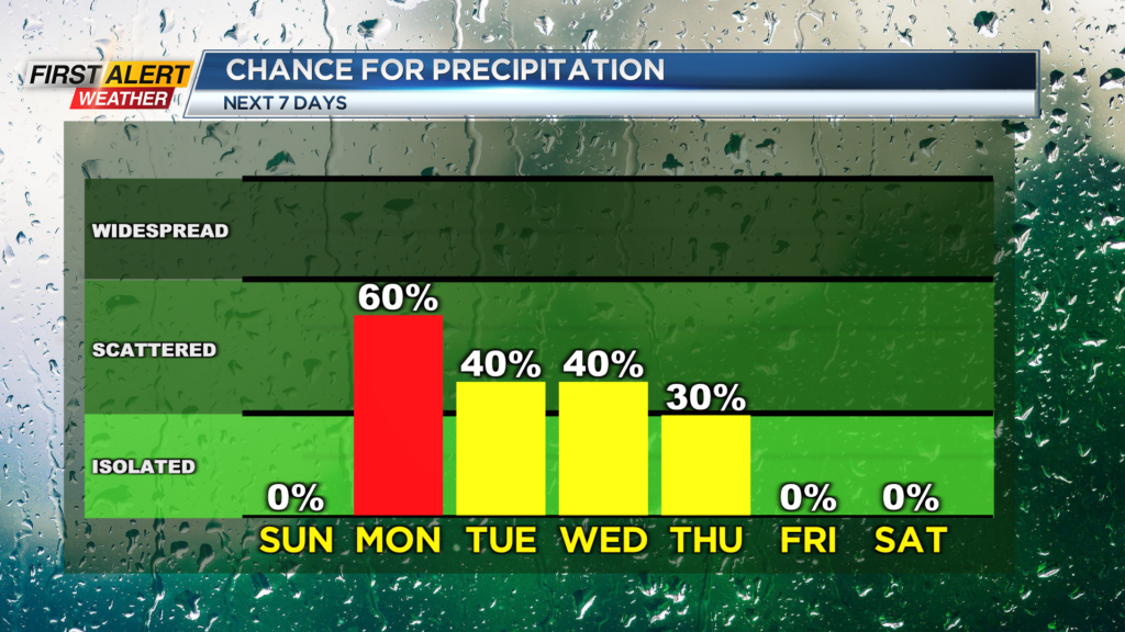
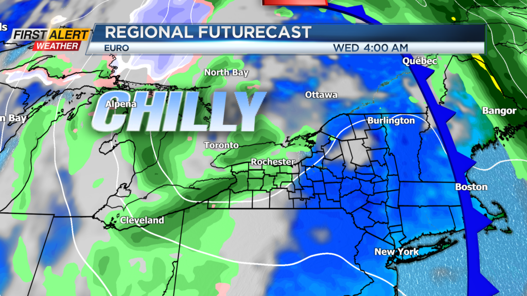
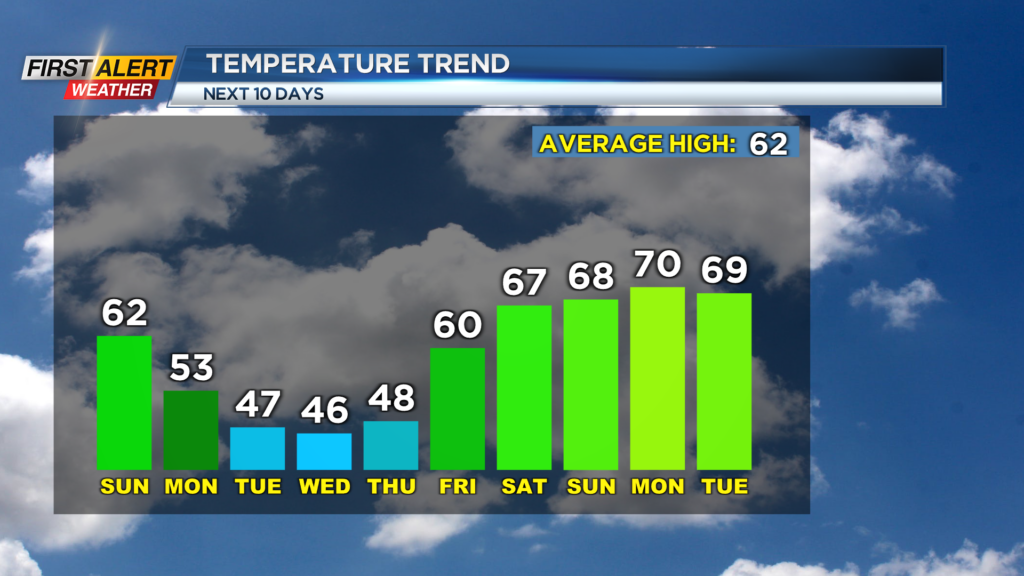
We will continue to turn cooler for Tuesday and Wednesday with highs only reaching the mid 40s. With that, the higher elevations south of the city could see the first flakes of the season fly as snow mixes in.
No accumulation is expected locally, but lake effect rain and snow showers will continue through Wednesday before even more changes take place on Thursday. A lake effect rain shower will be possible early Thursday before we dry out late.
First Alert Meteorologist Alex Bielfeld has your Sunday forecast.
Then, we will see a warmer trend take over across our region for next weekend. The weather pattern will flip and the jet stream will move to our north and let our afternoon highs once again reach the mid and upper 60s! As of now, we are looking dry for next weekend but we will monitor any changes.