First Alert Weather: The weekend starts dry, but ends wet
We couldn’t have ended the work week on a prettier note with blue sky on Friday, but our weather will begin to take a turn this weekend.
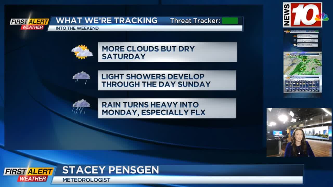
An approaching front on Saturday will bring an increase in clouds, but we should be staying dry through the day. Then, a complex storm system moving in on Sunday will bring light showers from west to east across the area. The Rochester area should see dry weather Sunday morning, but showers will develop shortly after that. If you’re headed west to Orchard Park for the Bills game, plan on showers both for tailgating and the game itself, with showers possibly tapering late in the game. Temperatures will be in the upper 40s to near 50, so at least it won’t be a cold rain. A coastal low moving in from the south and strengthening will begin to produce more widespread and heavier rain Sunday night into Monday morning. The axis of the heaviest rain will likely be east of Rochester into the Finger Lakes, and should begin to taper during the afternoon as the main low pulls away. This will be a high-impact storm for the big cities along the northeast coast, but just a soaking rain for us.
Temperatures will be dropping on Monday, with an eventual changeover to some snow showers late Monday into Tuesday. Accumulations at this point are expected to be minor, but maybe a fresh coating of white. The rest of next week looks fairly quiet with clouds and sunshine, and seasonable to slightly warmer than average temperatures in the upper 30s and lower to mid 40s.