First Alert Weather: Tracking a storm on Saturday with rain and strong winds at night
[anvplayer video=”5169273″ station=”998131″]
ROCHESTER, N.Y. — After quiet weather on Friday to end the week with mostly cloudy skies and temperatures in the 30s and low 40s, another storm will arrive on Saturday.
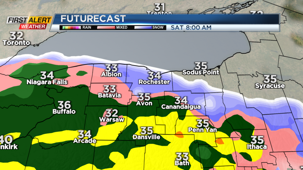
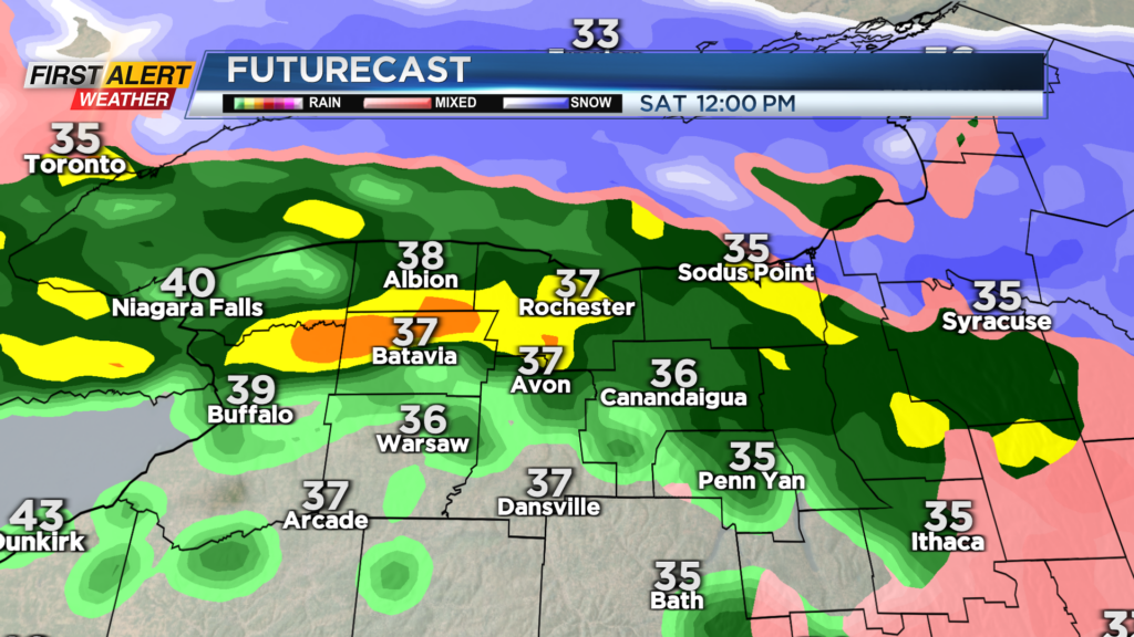
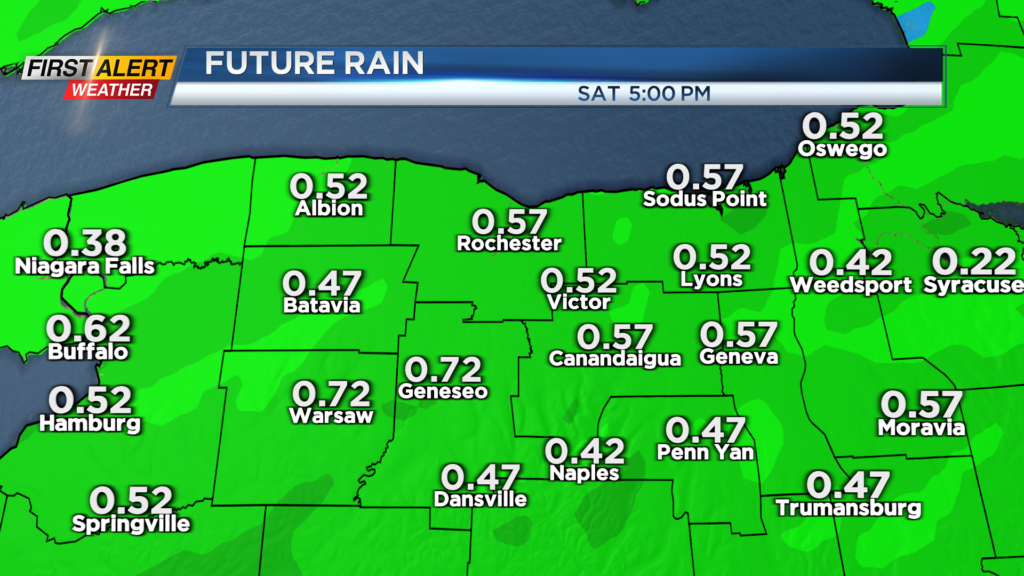
The precipitation may start as a little wintry mix around 8 a.m. and then quickly change to steady rain through midday. Looking at a solid half an inch of rain with some towns picking up close to three quarters of an inch.
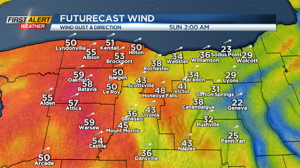
Rain will taper to more scattered showers in the afternoon and temperatures will briefly climb towards 50 as a cold front arrives in the evening with more showers. Gusty south winds will be with us most of the afternoon on Saturday 40-45mph and then increase once the front moves by Saturday night.
Stronger wind gusts are likely in the overnight hours close to 50mph with some gusts at or just over 55mph west of Rochester. Not anticipating any widespread issues from the wind but scattered power outages are possible. Sunday will be cold and breezy.
Stay tuned to News10NBC for the latest updates on the timing of the mix and rain for tomorrow and the wind threat Saturday night.
______________
Download the WHEC First Alert Weather app to stay up to date while on the go.
Watch the latest full forecast online.