First Alert Weather: Tracking Hurricane Ian in Florida and return of sunshine locally
[anvplayer video=”5137935″ station=”998131″]
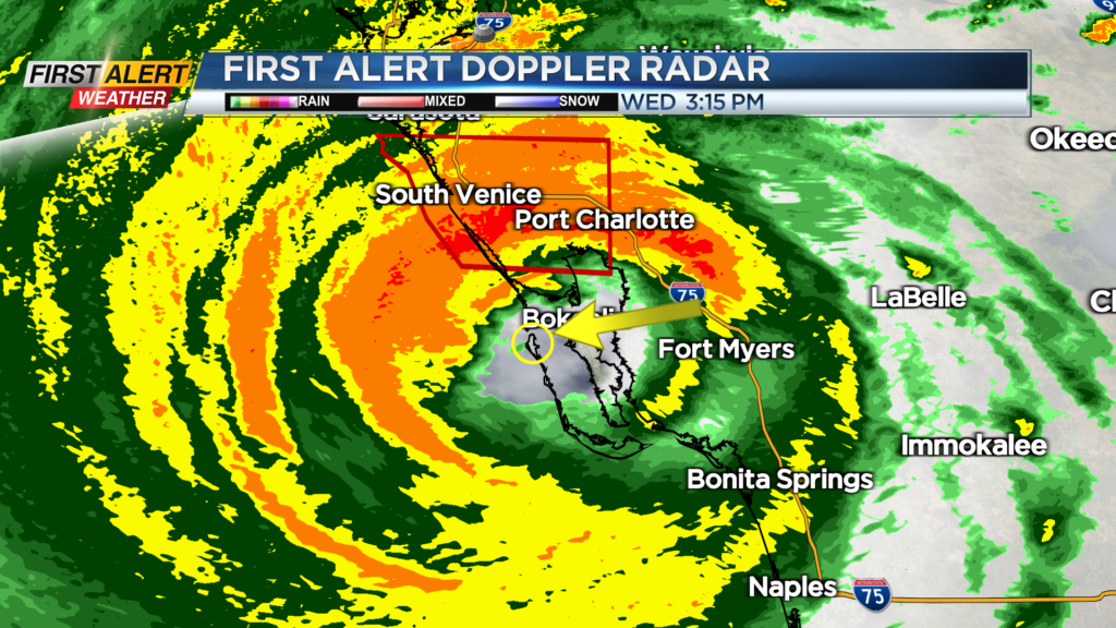
ROCHESTER, N.Y. — Hurricane Ian made landfall on the barrier island of Cayo Costa as a strong Category 4 storm with winds of 150 m.p.h. Wednesday afternoon.
Major storm surge flooding, damaging wind gusts up to 120 m.p.h. in some locations, and tornadoes were reported. Ian will weaken as it continues to move inland but will still cause major issues as the slow-moving storm dumps a foot of rain across parts of central Florida over the next 24 hours.
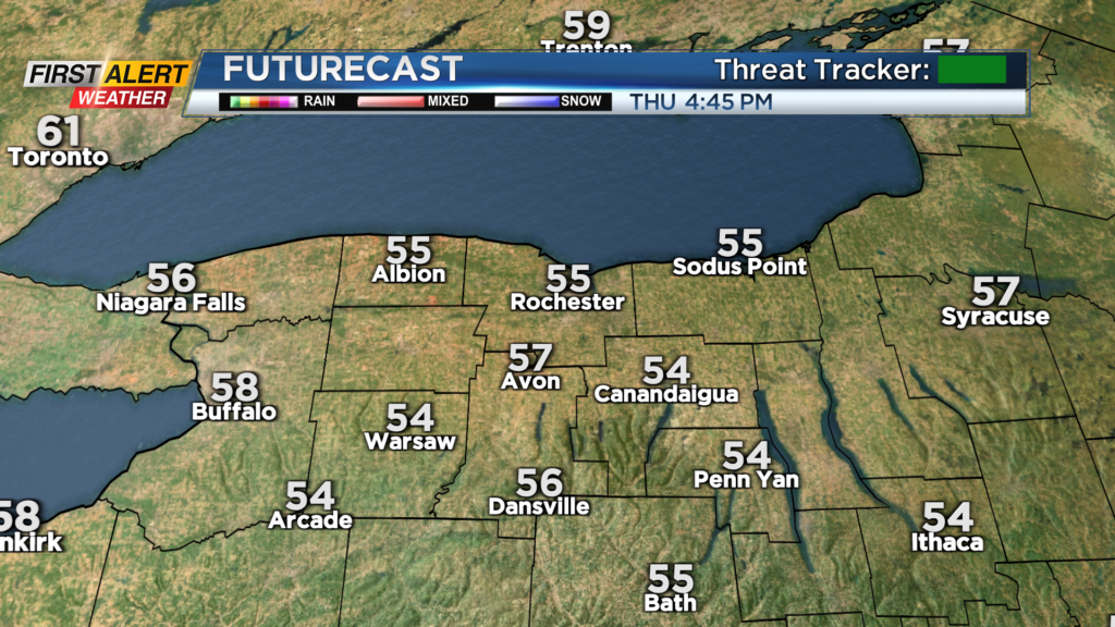
Closer to home, we’re tracking the return of some sunshine! Thursday starts off gloomy, but sun makes a return by the afternoon. Temperatures will remain cool though, holding in the mid 50s. Friday will be beautiful with a mostly sunny sky.
The massive cloud shield from the remnants of Ian will begin to drift in from the south late Friday, thickening up through the weekend. So we’ll stay dry, but Ian will help to block out the sun for us across Western New York. In fact, we’ll stay dry and a bit cool straight into early next week.