First Alert Weather: Tracking lake effect snow and winter chill into mid-week
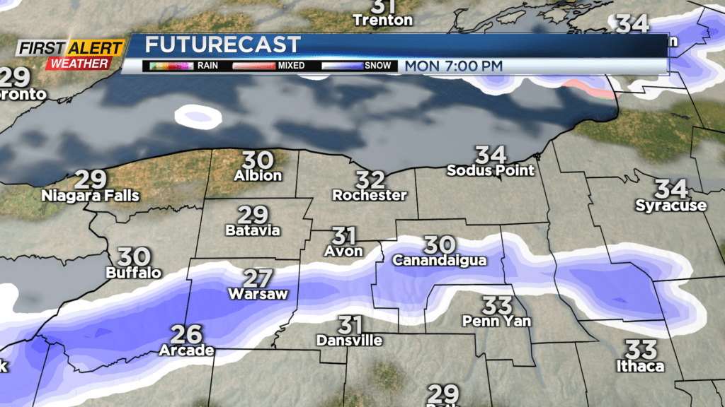
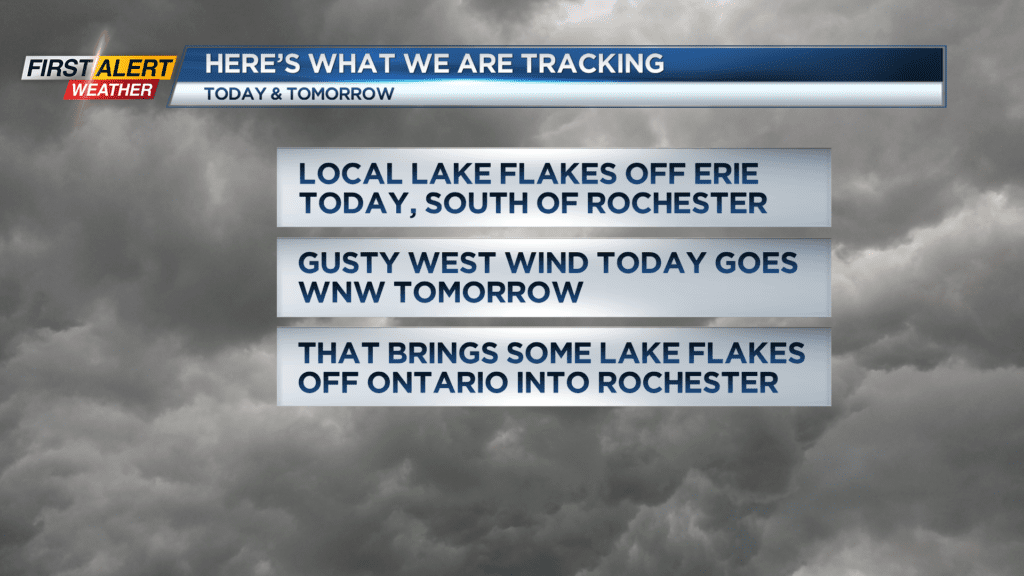
ROCHESTER, N.Y. — Colder air will arrive in the Rochester region on Monday with a gusty wind and a few flurries. Lake effect snow off of Lake Erie will get better organized later into Monday.
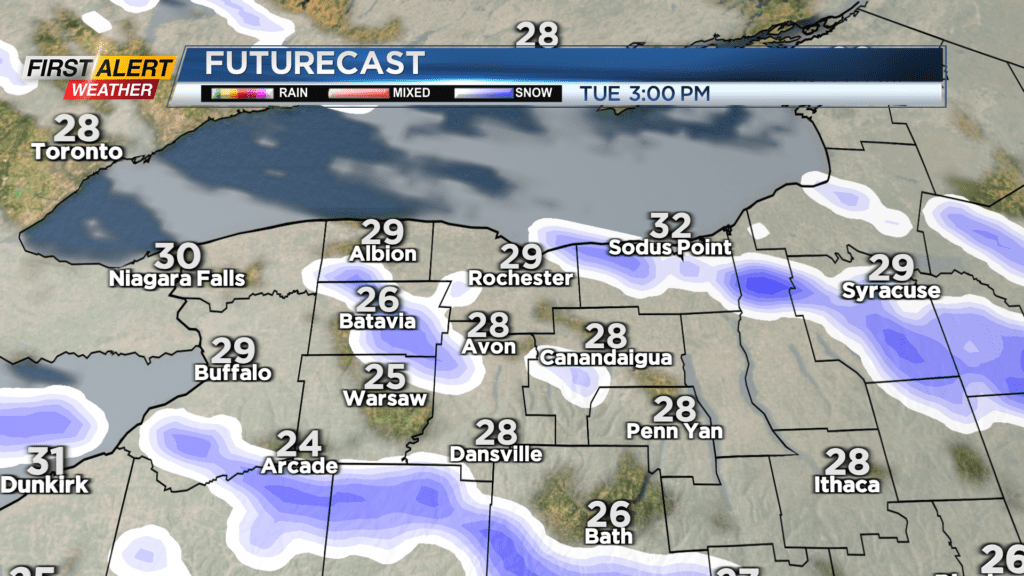
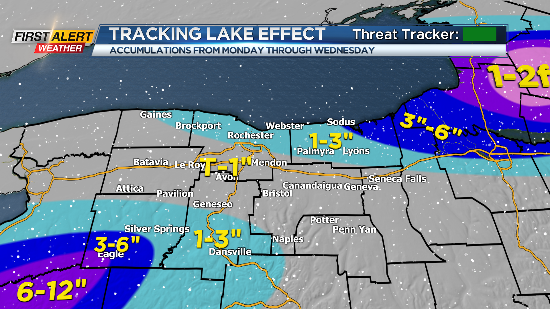
This initial snow will stay near and south of 5&20 with several inches for Wyoming County and an inch or two for Livingston, Southern Ontario and Yates Counties, especially the higher elevations. Heading into Tuesday, the cold is here with temperatures in the 20s and 30s.
Gusty winds will bring the feel like windchill into the teens and single digits. The wind will turn to the west-northwest. That will push the Ontario snowband into the Rochester metro with some light accumulations Tuesday into Wednesday.
Plan on a coating to a couple inches in Rochester with a bit more in Wayne County. Lake flakes will subside later Wednesday and temps will rebound later in the week. Stay tuned to News10NBC for the latest on the developing lake effect snow the next couple of days.