First Alert Weather Update: Light snow returns Thursday
ROCHESTER, N.Y. – It was another windy day across Western New York, but not to the same extent as Tuesday’s wind. Winds will ease a bit overnight. We’re tracking a fast moving, relatively weak system on Thursday that will bring some snow showers and light snow. Expect less than 1” out of this, with no big issues on roads. Most of Friday is quiet and dry, but we’re tracking another much more potent storm for the weekend. This will start with a breeze on Friday and some snow developing late in the evening. We may see an inch or two of accumulation at the start, but we’ll change over to rain once again as temperatures warm overnight. Saturday goes the other way – temperatures tumble from the 30s into the 20s, winds become gusty and any lingering rain showers change over to some developing lake effect as the air turns colder.
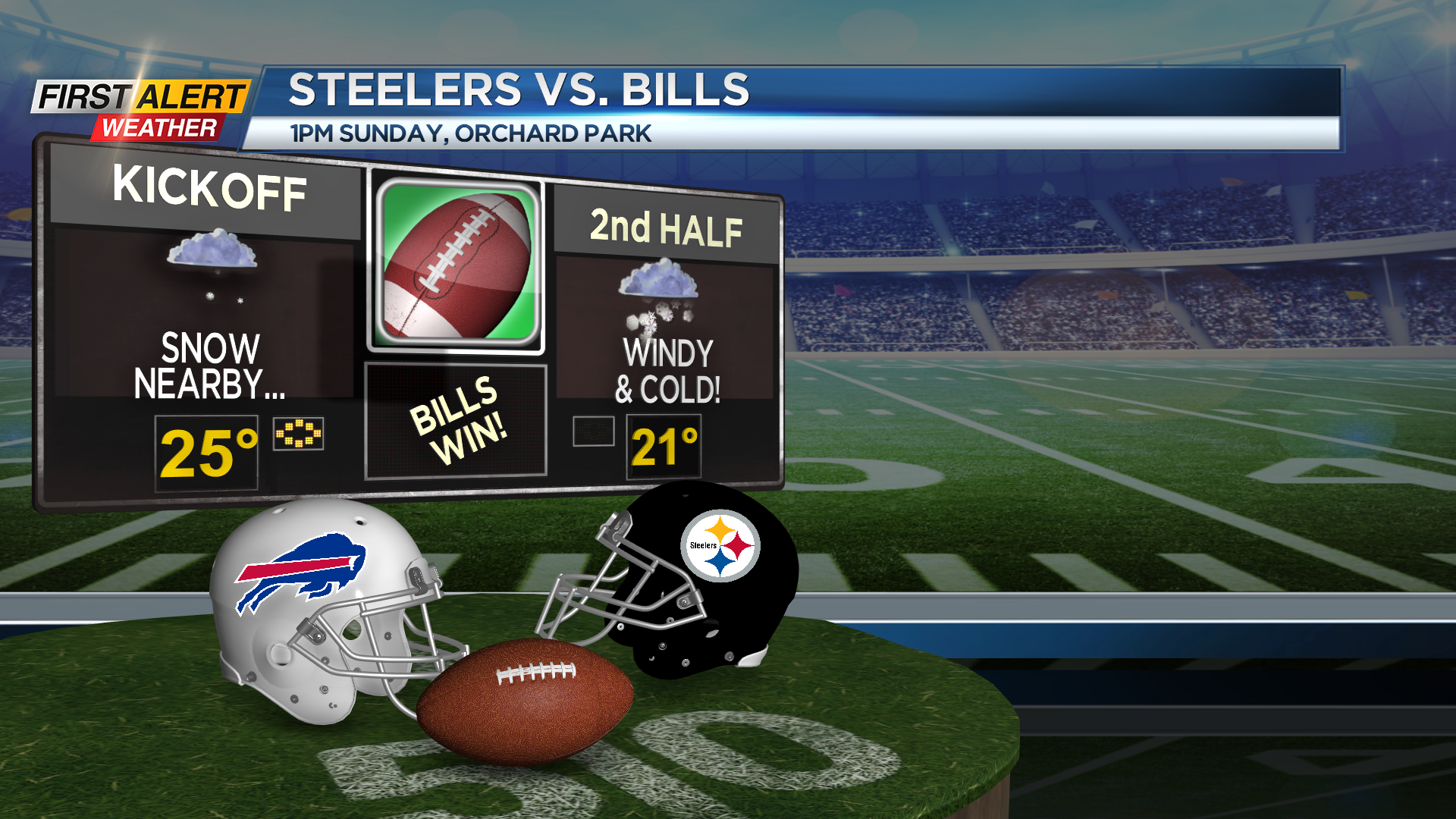
This pattern will continue into Sunday and much of next week. We’ll feel the coldest air all winter, and see a setup that will produce accumulating lake snow off of Lake Erie. This will keep the main accumulations out of Rochester and to the south. If you have plans to attend the Bills game on Sunday, you’ll want to prepare for a true blast of winter. Temperatures will hold in the low 20s with a very gusty wind making it feel more like the single digits. In addition to that, a band of lake effect snow will be setting up somewhere near the stadium. So, the potential is there not only to see snow during the game, but it may also impact your drive to and from the stadium. Stay tuned for specifics as we fine tune the forecast.