First Alert Weather: Warm on Friday into weekend as wildfire smoke clears
[anvplayer video=”5183476″ station=”998131″]
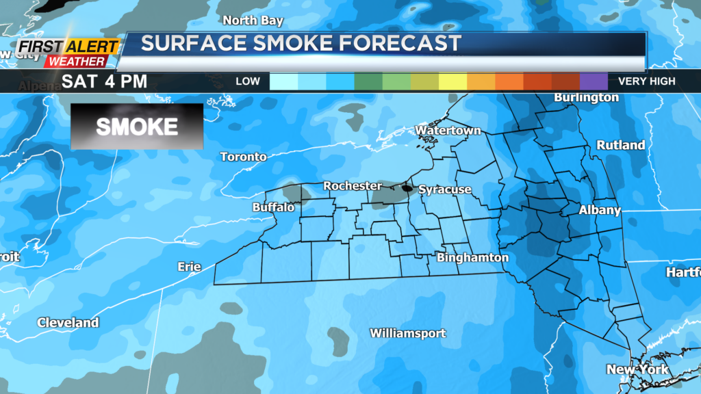
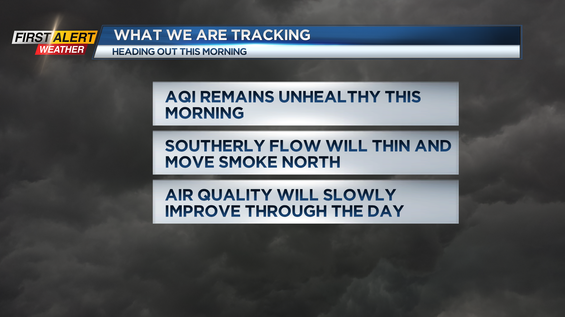
ROCHESTER, N.Y. — Unhealthy air lingers across the region on Friday morning as the wildfire smoke is still over the region.
We will be dealing with this for much of the day before a stronger southerly flow blows the smoke back to the north into Canada tonight and Saturday.
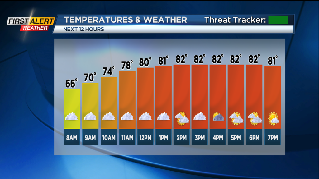
Good news as the air quality will improve into the weekend. A warm front will arrive this morning with some clouds and a possible shower.
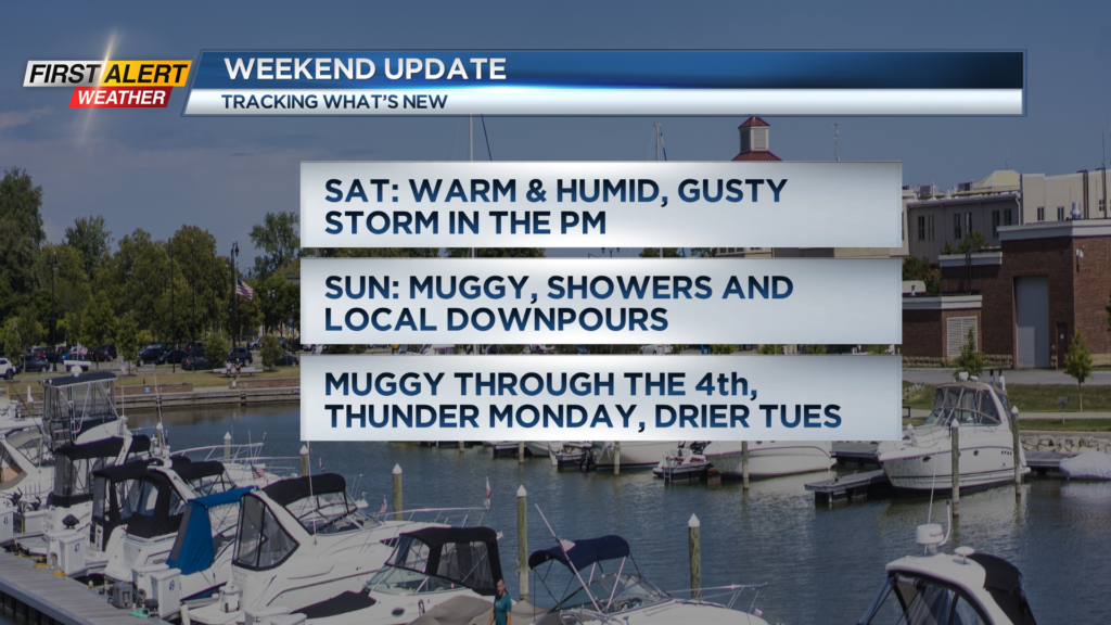
Once the front moves through by midday we will have a noticeable increase in humidity as temps climb into the 80s this afternoon. Most of the day and night will be dry but if you are out and about there may be a thundery downpour so keep the umbrella handy.
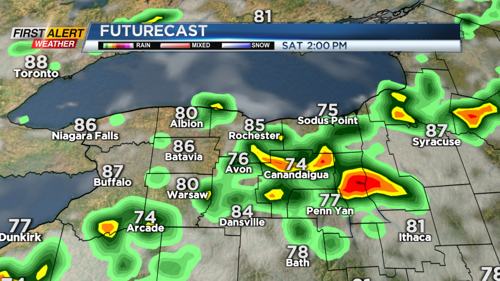
Looking ahead to the weekend the warmth and humidity sticks around and even though we will have lots of dry time to enjoy we need to keep an eye out for a few issues. Saturday afternoon some storms fire up and a local strong to severe storm is possible so need to keep an eye to the sky.
On Sunday a few heavy downpours are possible as well. Not a washout for the weekend but be prepared for rain at times. Stay tuned to News10NBC for updates on the timing of rain over the weekend and the weather into the 4th of July.
______________
Download the WHEC First Alert Weather app to stay up to date while on the go.
Watch the latest full forecast online.