First Alert Weather: Warmer air on the way, near record warmth this weekend
[anvplayer video=”5145766″ station=”998131″]
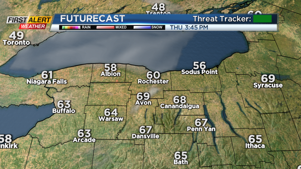
ROCHESTER, N.Y. Areas that made it into the sunshine Wednesday afternoon also made it into the 60s.
Lakeshore communities were stuck in the 50s, and that may be the case again on Thursday, thanks to an onshore flow. Away from the lake, we’ll warm well into the 60s on Thursday and lower 70s on Friday. Our warmest day will likely be Saturday, with mid-70s not out of the question.
The record high for Saturday stands at 75 degrees, so that is a record that is worth watching. We’ll remain dry through Saturday evening. Our next cold front will arrive with rain Saturday night into early Sunday morning, then tend to taper.
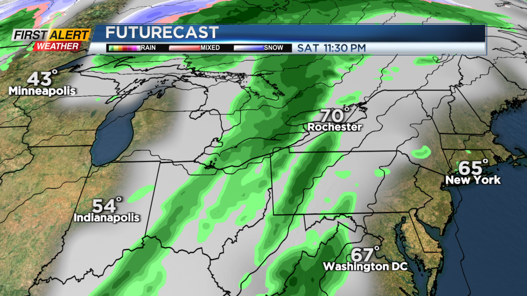
So while rain is in the cards this weekend, the timing of the steadiest rain may end up being overnight Saturday, when most of us are inside.
Our warmer-than-average temperatures will generally hold through the middle to end of next week before a pattern change brings in a much more November-like airmass, with highs falling back into the 40s by the end of the week and perhaps into next weekend.
[anvplayer video=”5145774″ station=”998131″]