First Alert Weather Yellow Alert: One more day before strong winds, bitter air and lake snow arrive
[anvplayer video=”5154001″ station=”998131″]
ROCHESTER, N.Y. If you have last-minute errands to run before Christmas, tomorrow is your day to do them.
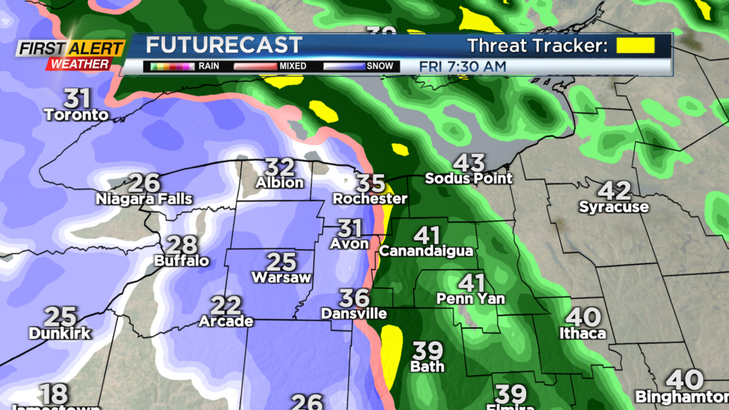
Thursday starts dry, with rain showers developing later in the afternoon. Some wet snow showers may mix in, but no issues are expected on roads. Rain picks up overnight and into early Friday morning. Rain will quickly change over to a brief period of area-wide snow, but nothing more than a coating to an inch or two of accumulation.
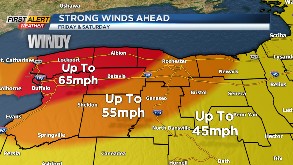
The more pressing issue will be the drastic drop in temperature, leading to a flash freeze and black ice on roads. This will be underneath that coating of snow that falls. Roads will likely become quite slick until plows can lay down salt. Wind chills will drop below zero as air temperatures fall into the 20s and teens, and winds ramp up to 40 mph.
The strongest winds will arrive after sunset on Friday, with some gusts of 60-65 mph possible between Buffalo and Rochester. This could be strong enough to produce some damage and scattered power outages. The rest of the area will still deal with gusty winds of 50-60 mph for a few hours Friday night, but outages will be fewer and more isolated.
In addition to the cold and wind, lake effect snow will be developing off of Lake Erie. Typically, the Rochester region avoids the main impacts from Lake Erie snow, but the strong wind will help to transport some of that band closer to Rochester, starting Friday afternoon and evening. This will likely continue into Saturday, before weakening and dropping south on Sunday.
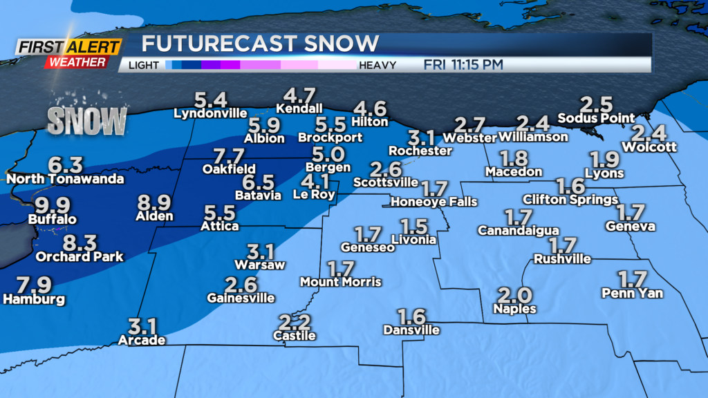
The heaviest snow will still fall in Buffalo, with 1-2 feet of snow expected there, but western parts of Monroe may see shovelable snow, with the plows working in Orleans and Genesee Counties. What may be more impressive is the gusty wind blowing that lake band around. Whiteouts and blizzard conditions are possible Friday night into early Saturday for western parts of our area.
First Alert Meteorologist Stacey Pensgen has your Wednesday forecast.
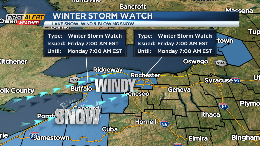
The combination of wintry weather having an impact on travel warrants a Yellow Alert Friday and Saturday, and Winter Storm Watches are posted for Monroe, Orleans, Genesee and Wyoming Counties for the snow and wind.
Weather will quiet later Saturday and into Christmas Day, though most of the weekend will be spent in the teens with wind chills at or below zero. But the weather should be improving for travel.
Main takeaways: while the weather will go downhill fast, the worst travel weather and greatest threat for power outages will be west of Rochester. If you have plans to travel east along the Thruway, the weather will make it a bit easier. Stay with News10NBC into the weekend for updates on this very dynamic and complicated storm.