First Alert Weather: Yellow Alert Saturday: Another round of gusty winds develops, some lake effect snow

ROCHESTER, N.Y. — The wet snow we’ve been seeing on Thursday moves east Thursday night, leaving us with a quiet and dry start to your Friday.
In fact, we may even see some breaks of sun. It’ll first turn breezy, then gusts pick up in the higher terrain of the Finger Lakes later in the evening. This is ahead of our next powerful storm moving in for the weekend. We’ll see a brief period of steady snow at the onset of our precipitation Friday night, but it changes over to rain quickly, melting away any accumulation as temperatures rise into the 40s. That will be short-lived, though.
Much colder air quickly blows in on Saturday, and this is when Rochester and points west toward Buffalo may see some strong winds. This corridor may see some gusts pushing 50 mph Saturday afternoon. Some isolated outages and damage may be possible, but not to the extend of our last wind event earlier this week.
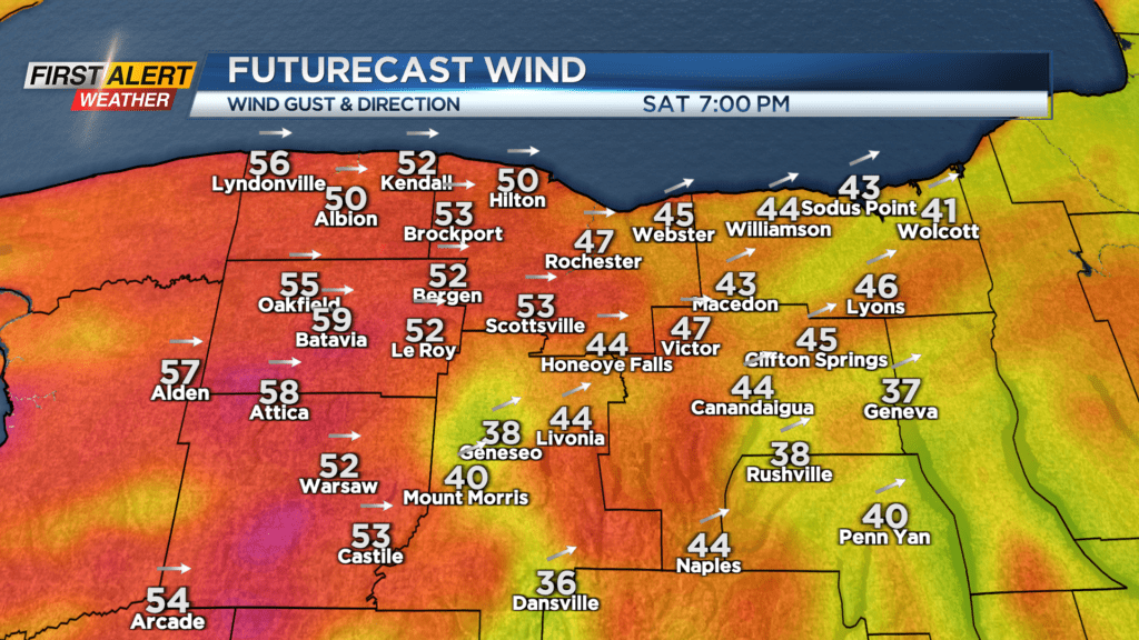
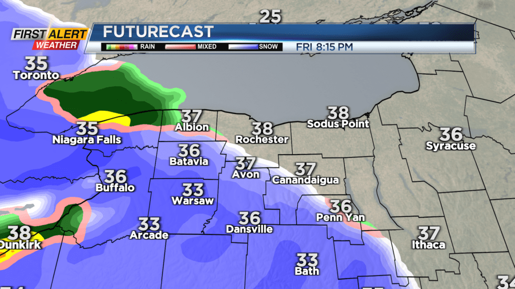
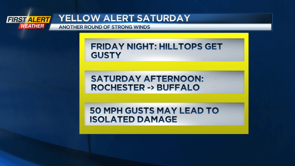
A Yellow Alert is up for our wind threat. On top of that, we’ll see some lake effect snow developing. Accumulation on Saturday should be fairly minor, but the wind will create areas of blowing snow and reduced visibility.
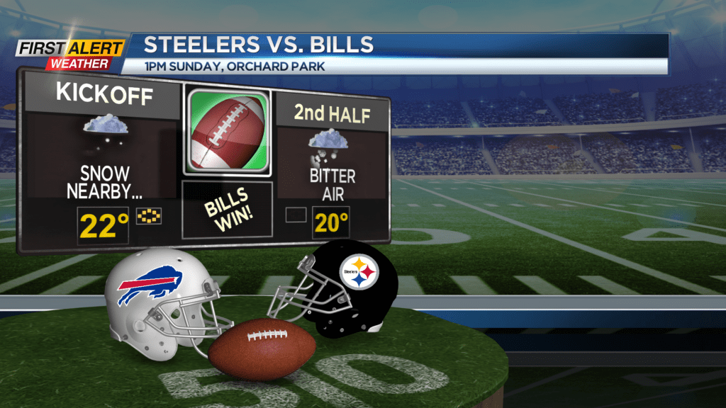
The heaviest lake effect snow then sets up near Buffalo Saturday night and into Sunday. This band will meander somewhat north and south on Sunday, but there’s a good chance it’ll impact the Bills game on Sunday — whether it’s getting to or from the game, or snow falling during the game. In addition to the snow, it’ll be windy with gusts near 40 and wind chills in the single digits.
In other words – dress for winter in Orchard Park!