Rain and snow to end the week
[anvplayer video=”5156781″ station=”998131″]
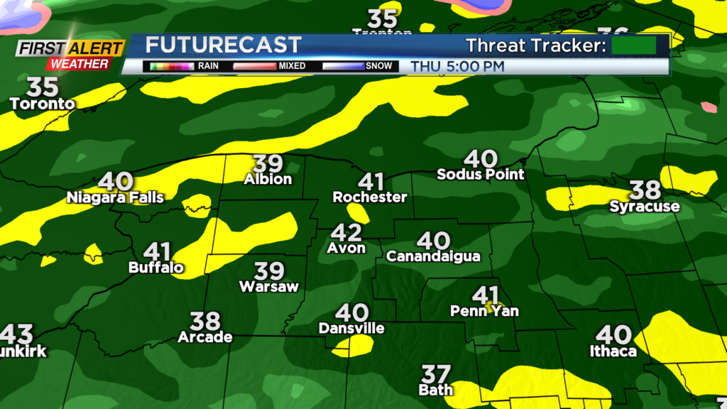
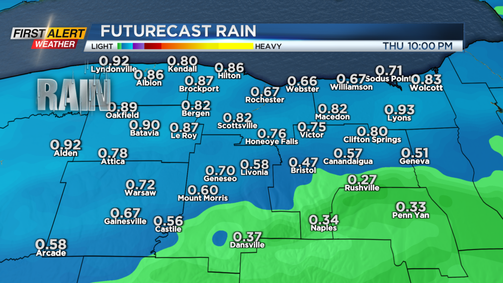
We’ll end the week on an active note, with a storm system bringing another round of soaking rain to the area on Thursday, followed by some snow on Friday. Thursday will start off with a few light scattered showers in the morning, followed by a steadier rain developing after lunchtime. Most spots will pick up a quarter to half inch of rain on Thursday.
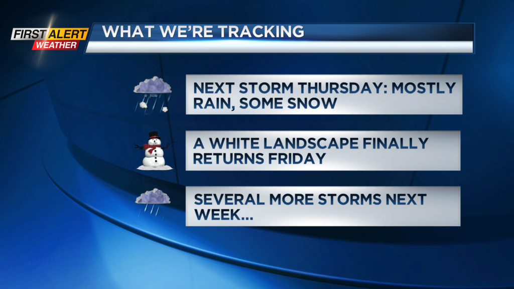
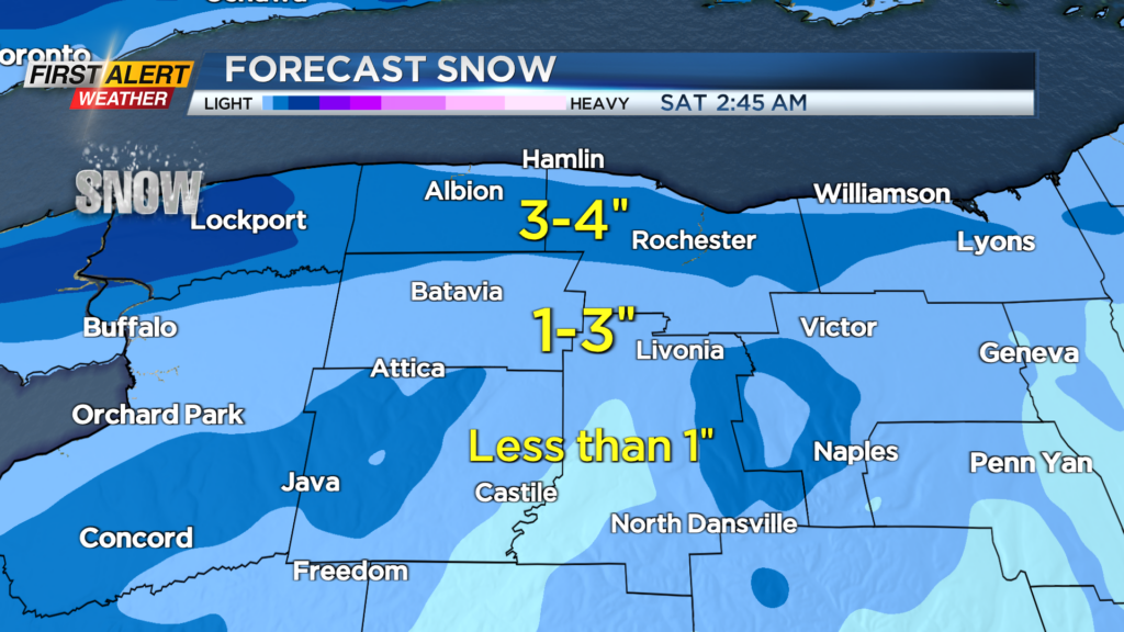
We’ll see the steadier rain tapering Thursday night, but not before changing over to some snow by Friday morning. At this point, the “system snow” should be held to an inch or two for most, but we’ll see some lake enhancement Friday midday into the afternoon.
This may add another inch or two of additional snow, especially for Monroe, Orleans and perhaps Wayne County. In all, more wet than white, but this next system should have just enough snow to bump us into the double digits for seasonal snowfall, and finally whiten out landscape once again.
Saturday will be a chilly January day with highs in the 20s and some lake flakes early followed by sunshine. Sunday looks great, with highs back in the 30s (after starting in the teens), and a mostly sunny sky.
Weather for the Bills game in Orchard Park won’t pose any issues for players, with no precipitation, and wind not a factor. Fans should dress warm but bring the sunglasses! Our weather pattern will be active next week, with a storm system on Tuesday, and another on Thursday. Much like what we’ve seen so far this winter, both of these systems will track to our west and bring primarily rain, followed by the possibility of some limited snow on the backside.