Yellow Alert Weather: Slick spots for Friday morning and lake-effect snow near and south of the Thruway
[anvplayer video=”5148573″ station=”998131″]
ROCHESTER, N.Y. — Be careful on Friday morning as the little snow we had last night has frozen up.
Watch your step leaving the house and the car parked outside will need the windows scraped before heading out. Not a lot is happening in Rochester but areas south are dealing with some lake-effect snow.
There will be generally light to moderate bursts through the morning along the Thruway down into Livingston and Ontario counties. Light accumulations are expected in the 1-3 inches range.
The amounts will increase dramatically across Southern Genesee County into northern Wyoming County and further west towards the Buffalo Southtowns.
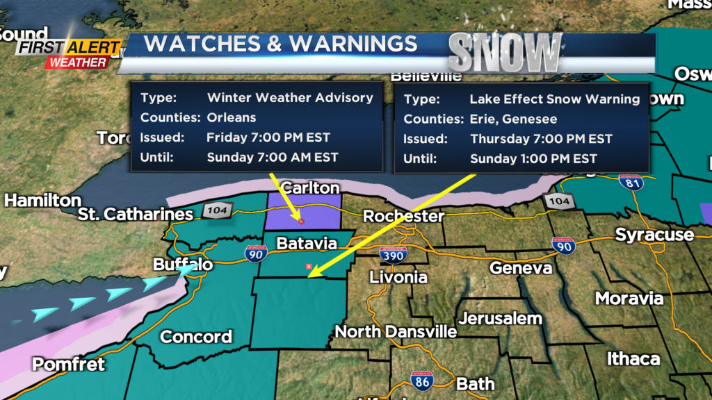
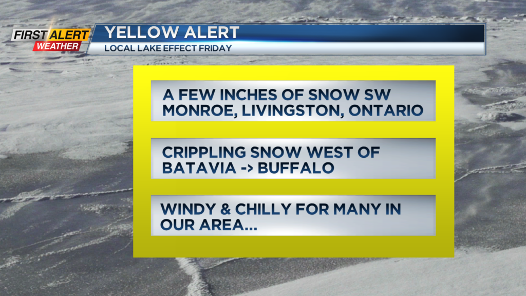
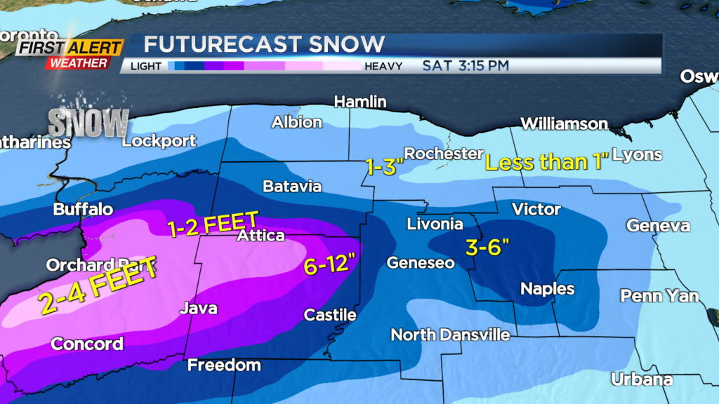
This band of snow will not move a lot through Friday but may drift a bit north in the afternoon. That is when we might get a spray of snow in Rochester with minor amounts generally under an inch.
The snow band will move overnight to the north and then to our west on Saturday morning with not a lot happening on Saturday locally, as heavier snow will be out towards Niagara Falls.
On Sunday, the snow bands will swing back through the region with some squalls possible off of Ontario Sunday afternoon in Rochester and along Route 104.
Stay tuned to News10NBC for the latest on the heavy lake snows as they move across the region over the next couple of days.
______________
Download the WHEC First Alert Weather app to stay up to date while on the go.
Watch the latest full forecast online.