First Alert Weather: A damp and cooler end to the work week
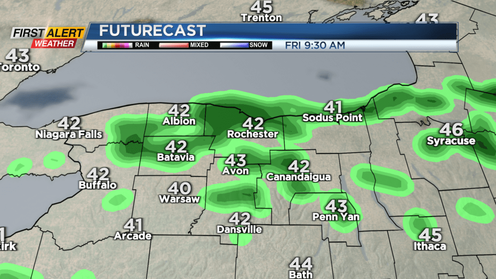
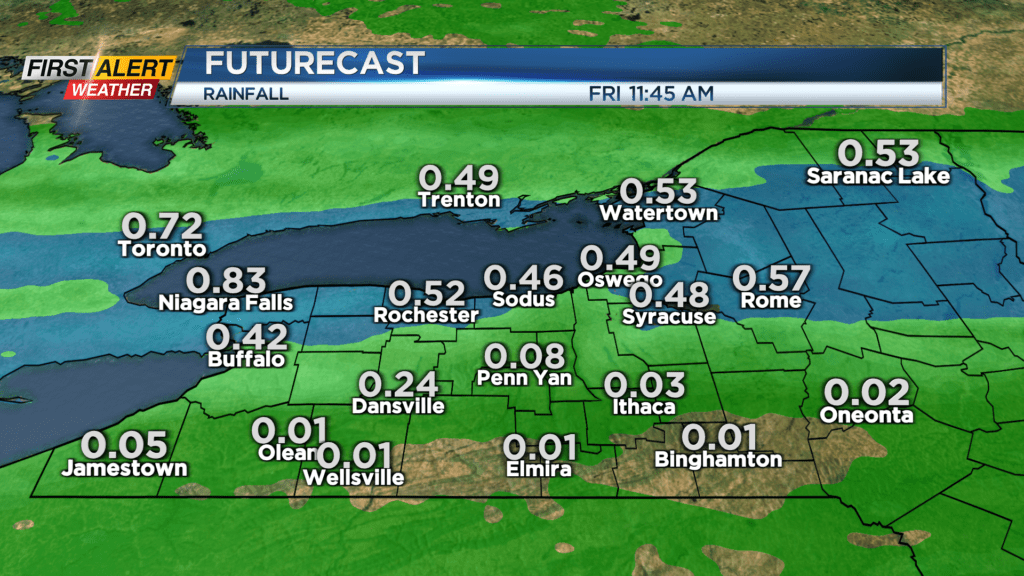
We’ve spent much of this last full week of winter feeling much more like spring, with temperatures in the 50s and 60s with a fair amount of sun, but that is ending. An area of low pressure passing overhead will bring showers, pockets of heavier rain and even a few rumbles of thunder late evening into the overnight. This is part of the same system that brought heavy snow to the Rockies, and severe weather to the Plains and Midwest. We’ll just see the remnants of these storms overnight. Most of the precipitation exits our region Friday morning, with any lingering showers ending and giving way to some limited sunshine.
We’ll start the weekend with fair weather, some sun and temperatures in the lower to mid 50s with dry weather for the St. Patrick’s Day parade downtown. Another cold front will blow through Saturday night, bringing another round of showers into Sunday morning. Sunday will be blustery and turning cooler with off-and-on rain and wet snow showers, but no accumulation. That may change late Monday into Tuesday of next week with the chilliest air of the next week or two, along with some lake snow showers. Most will see little more than a coating to an inch or so, but it may be enough to give the green grass a fresh coating of white.