First Alert Weather: A drier end to the week, then storm chances return later this weekend
[anvplayer video=”5129522″ station=”998131″]
ROCHESTER, N.Y. (WHEC) — As promised, we saw another afternoon with scattered showers and some storms, but they weren’t as widespread or robust as earlier this week.
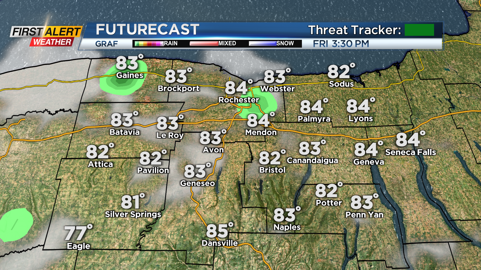
The drying trend continues for Friday and much of Saturday. Outside of a brief, passing shower Friday afternoon, we should see a mostly sunny sky and warm air. Saturday should be the warmest day, flirting with 90 degrees. Sunshine will give way to some more clouds by afternoon, and rain chances will begin to increase again later in the day, especially in the Finger Lakes.


But, Saturday will easily be the drier of the weekend days.
Sunday begins our next round of rather unsettled weather, with scattered showers and storms returning. This will continue Monday and Tuesday, before trending a little drier by the middle part of next week.
Rain chances will keep temperatures in check, with daytime highs in the upper 70s and lower 80s, and overnight lows in the lower 60s. Despite frequent rain and storm chances next week, there aren’t any red flags that signal severe weather, so for the time being, we’ll remain green on the First Alert Threat Tracker.
That being said, the storm threat each day will need to be monitored. If we see an upward trend in the intensity of storms any next week, we’ll up that to a yellow. But for now, we remain green. We’ll stay on top of it, and provide updates as needed.