First Alert Weather: Dry weather will not last long for WNY
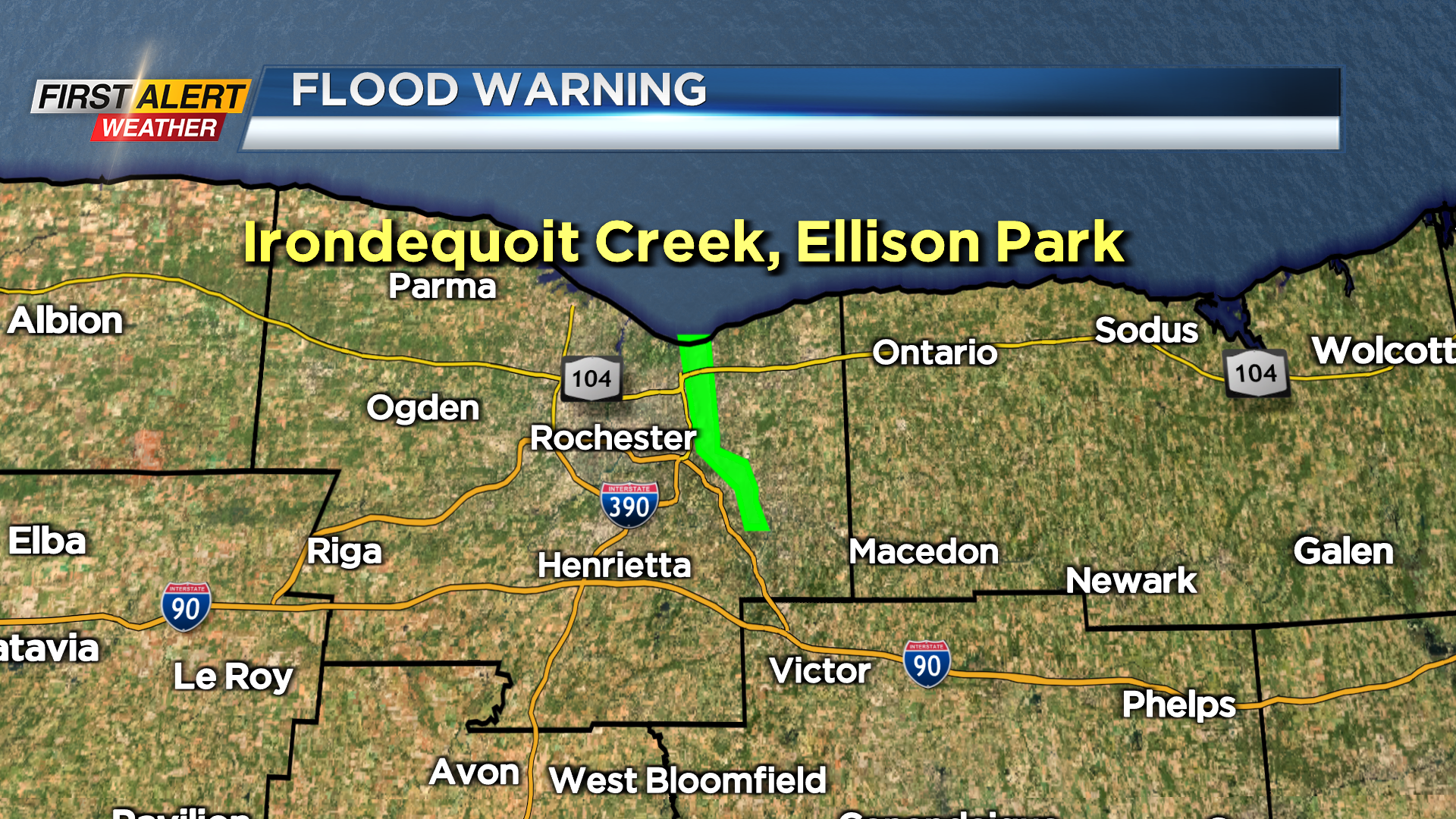
We had plenty of rain this past week and, as a result, there is a flood warning in effect for Irondequoit Creek in Monroe County until 6 a.m. Sunday. This flooding has been especially prevalent in Ellison Park today. However, the creek should slowly recede during the overnight. In the short term, we finally have some dry weather that has returned to the Rochester area. However, the recommendation is to enjoy this respite because we already see the next round of showers and thunderstorms coming our way for Sunday.
Saturday night, look for clear skies at times in the evening — then, more clouds arrive later in the night with the chance of another shower well after midnight. The low will be near 40 degrees. Then Sunday a fast moving, compact low-pressure system will be rolling across the eastern Great Lakes. This will produce showers and a passing thunderstorm by mid-morning. A downpour is likely especially south and east of Rochester in the Finger Lakes. News 10NBC First Alert meteorologists do not expect severe weather and as a result the threat tracker will remain green at this time. However, we continue to monitor the data and will alert you on any changes. The high temperature will be in the upper 50s to near 60 degrees. Then dry weather with more sunshine will return for Monday and Tuesday.
Stay tuned to News 10NBC First Alert Weather for any updates on the forecast.


