First Alert Weather: Wet at times into the weekend
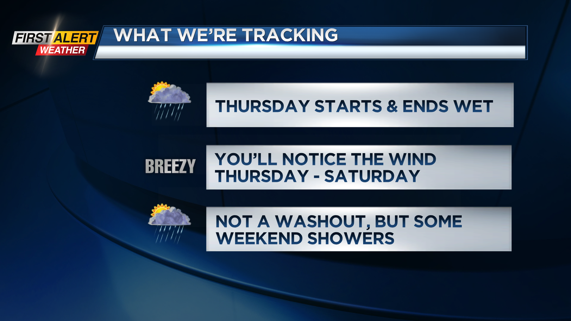
Our weather pattern turns pretty active into the end of the work week and into the weekend, but we don’t expect any severe weather, so we’ll remain “green” on the Threat Tracker. That being said, we’ll see another round of rain moving back into western New York by early Thursday morning. This rain will be heavy for a few hours, then lift north, leaving us with a few hours of dry weather. During this time, we should see some sun and temperatures will climb into the upper 60s and even some lower 70s with the help of a little bit of sunshine. Dying storms from the Ohio Valley will move in later in the evening, giving us another round of showers, a few downpours and perhaps a few rumbles of thunder.
That storm system will move overhead and east on Friday, drawing in some cooler air. This means we’ll fall through the 50s on Friday, and hold in the lower 50s on Saturday. Meanwhile, we’ll see off-and-on scattered showers on Friday, followed by a wet start Saturday. Winds will be noticeable Thursday, Friday and Saturday, but no issues expected, with gusts pushing 30-35 mph – not enough to cause damage or outages.
Sunday may start off with some sun, but another round of showers will move in. So, while we’ll see some wet weather at times this weekend, it won’t be a washout.


